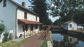
Friends of the Delaware Canal
145 South Main Street
New Hope, PA 18938
Phone: 215.862.2021
Michael Ginder, Executive Director
Friends of the Delaware Canal
145 South Main Street
New Hope, PA 18938
Phone: 215.862.2021
Michael Ginder, Executive Director
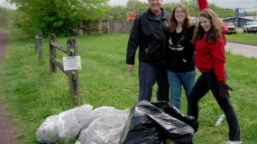
Helping on Canal Clean-up Day is just one way you can get involved and help to restore, preserve and improve the Delaware Canal. Big or small, the perfect job for you awaits – all you need to do is get involved! FIND OUT MORE